At the ANC 2E Meeting with the Georgetown BID and DDOT, Something Unexpected Happened with a Bike Lane Project
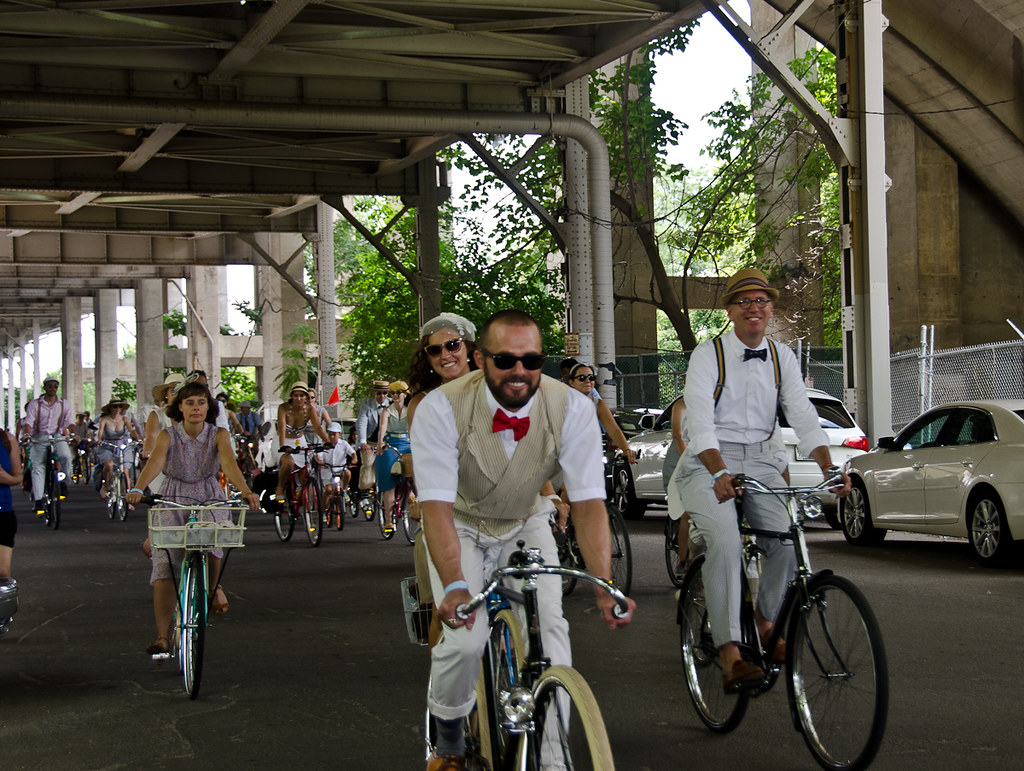 |
| Along Water Street Below the Whitehurst Freeway Image: Randall Myers |
Something interesting happened, the ANC, with a few reservations, supported it. This is a win for bicycling.
According to The Georgetown Current, the construction of the first phase of the project will begin this fall. It will include a protected bike lane, also know as a cycle track, between 34th and 30th streets NW. The proposed plan also improves and expands crosswalks, provides for a system to handle tour bus operations, and other road improvements. While the plan addresses some short-term bicycling, pedestrian and vehicular issue, it is flexible enough to accommodate future Streetcar extensions or further development as shown in the BID's K and Water Street corridor concept plan.
ANC Meeting
Years ago, the idea of removing parking in Georgetown for any reason would be the non-startiest of non-starters. The headline of the Georgetown Current's article on the meeting evoked that feeling in stating that "K/Water Change Would Cut Into Parking Spaces". In reality, the planned extension of the popular bicyclist commuter and recreational trail - the Capital Crescent Trail (CCT) - was endorsed. In fact, some members of the ANC wanted to extend the lanes as quickly as possible.A resolution introduced by Lisa Palmer - Commissioner, 2E05 - supported the protected lanes. In her statement, she noted that metered parking makes traffic for her constituents worse. Allured by the hope of free parking, she said that drivers are encourage to drive around, making it difficult for those she represents to leave their homes. Some commissioners and members of the public voiced concerned that the removal of 43 metered spaces could be disruptive and potentially put pressure on other free or low-cost parking spaces. However, the measure supporting the lanes passed unanimously.
Protected Bike Lane Details
This draft concept layout consists of a two-way protected bike lane, between 30th Street NW and the old Aqueduct bridge, below the Whitehurst Freeway. The draft rendering listed below show a 10' to 12' protected lane with a 3' buffer and protection on the south side of Water Street, providing a link to the entrance of the CCT. |
| Illustration of the protected bike lane, potentially removing angled parking and narrowing travel lanes. Image: Google |
The draft plan is below.
Cautious Optimism
Katie Harris of Washington Area Bicyclist Association (WABA) discussed the potential of this trail extension in her organization's blog in September of 2016. Basically, the CCT is a bike superhighway that ends in a see of parked cars. She also notes that the plan as it currently is shown misses certain connective elements. Wayfinding signage and additional bike parking would be necessary to help bicyclists and pedestrians navigate and visit the Georgetown waterfront. Also missing is an actual connection to the Rock Creek Trail. Again, this is a preliminary plan but showing how bicycles will be from 30th Street to the Rock Creek Trail is critical.Potential ideas could include the rebuilding of the sidewalk along the connector road to the Rock Creek Parkway and trail, near 29th and Water streets. The current sidewalk is narrow, high, and without ADA-compliant ramps but reducing the width of the vehicle travel lane a few feet would give pedestrians or bicyclists a safer connection. A second alternative could be to bypass that area and have bicyclists and pedestrians use 30th street to connect to the Rock Creek Trail. However, during peak and not-so-peak hours that route can be pack with visitors.A more direct connection to downtown along K Street is also absent. This is the complicated intersection of 27th, K, Water, and Whitehurst, which probably needs it's own study and may be rebuilt to accommodate the Georgetown branch of the Streetcar.
Parking Changes
 |
| Angled parking will be eliminated Image: Google |
 |
| The center median will be removed to free up space for the protected bike lane on the left Image: Google |
This plan connects an otherwise suburban trail with the rest of the District. While the current plan is tentative, its ANC approval and support by the Georgetown BID shows that the District is making progress on a goal of creating a cohesive bicycle network.
Comments
Post a Comment
Thanks for your comment!